Active 10 by SatMap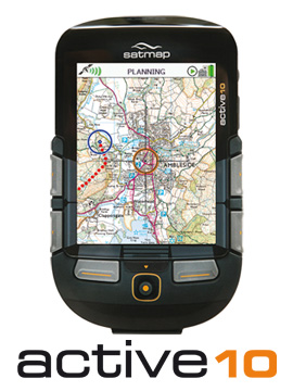 IntroductionThere are plenty of GPS mapping handhelds on the market. I am here talking about this one mainly because I own one and can talk about it from experience. I bought it because, at that time, it seemed to me to be the best buy for a walker who wanted good support in the Alps as well as the UK. To buy one you need to budget over £300 for the unit and something like £40 to £120 for every map that you buy to use on it. Pros
Cons
Verdict
ExplanationThe idea of having a map as the background to a track has obvious advantages. The reality is that you need to zoom out to see more than the immediate neighbourhood. When you zoom out the detail becomes more or less unreadable! As a rule of thumb I would say that a mapping screen has got to be at least A5 in size - and none of them are remotely near this size! The maps are quite expensive for the 1:50k maps - and these do not have field boundaries included!!!! The 1:25k maps are just too expensive to consider unless perhaps the users are from an institution that has all its activities on the same map. |